
In May 2026, City Layers conducted a live participatory mapping workshop with a group of
students at the University of Vienna, exploring how they experience the public spaces
surrounding the Neues Institutsgebäude (NIG) and the university's main building. Using
the City Layers platform, students mapped their everyday routes, favourite places, hidden
gems and areas they preferred to avoid. Through eight interactive questions, they shared
personal experiences, described how different places made them feel and proposed small
interventions that could improve campus life.
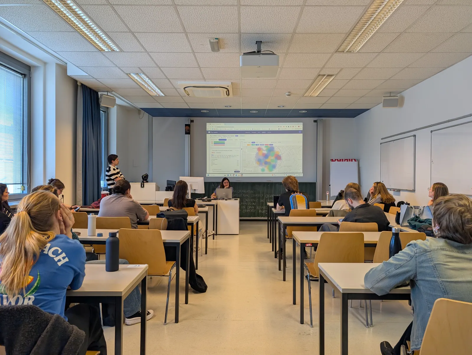
Figure 1. Students exploring mapped contributions and spatial patterns during the collaborative analysis session at the University of Vienna.
Following the mapping exercise, participants explored the collected contributions together
through the City Layers analysis dashboard. The results revealed distinct spatial patterns
and contrasting experiences. Green spaces, the NIG rooftop and the main building's
Arkadenhof emerged as valued places for relaxation and social interaction, while areas
around Schottentor were associated with crowding, noise and discomfort. Students also
identified opportunities for additional seating, shade, greenery and safer pedestrian
connections. By comparing responses across different questions, the analysis revealed
how places appreciated by some students were simultaneously avoided by others,
highlighting the importance of understanding multiple perspectives on the same urban
spaces.
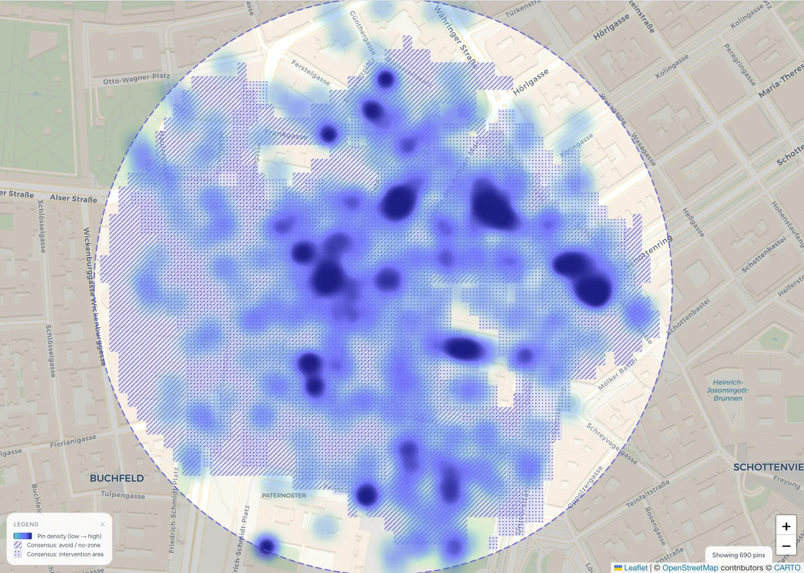
Figure 2. Heatmap of student hangout locations, highlighting where participants spend time between lectures and other campus activities.
The workshop demonstrated how participatory mapping can combine community
engagement, spatial data collection and collective analysis within a single session. Rather
than relying on general feedback alone, the approach linked students' experiences and
suggestions to specific locations, making spatial patterns and potential priorities easier to
identify and discuss. The resulting insights provide a starting point for more informed
conversations about campus improvements and demonstrate how universities and other
organisations can involve their communities in understanding and shaping the spaces they
use every day.
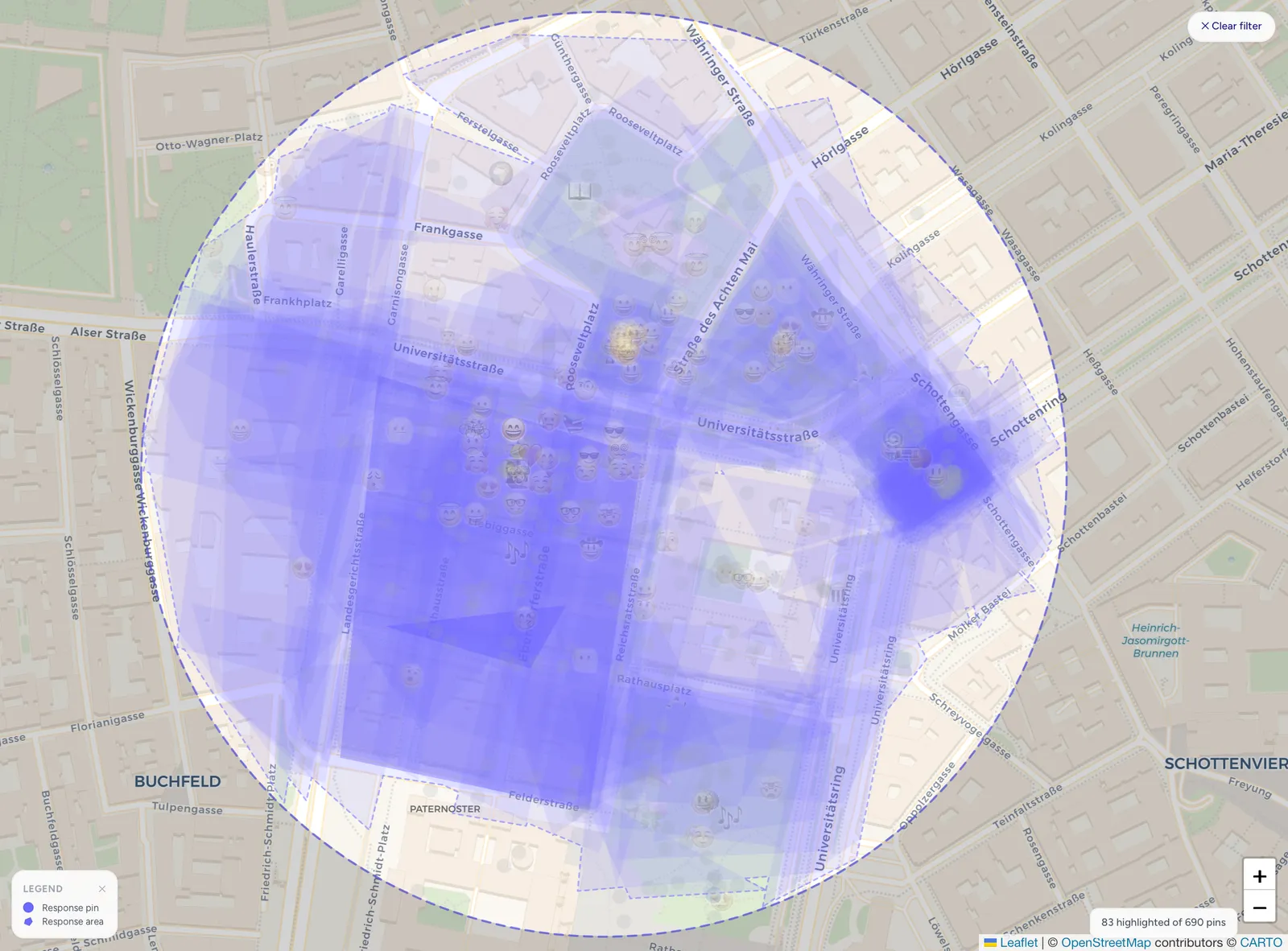
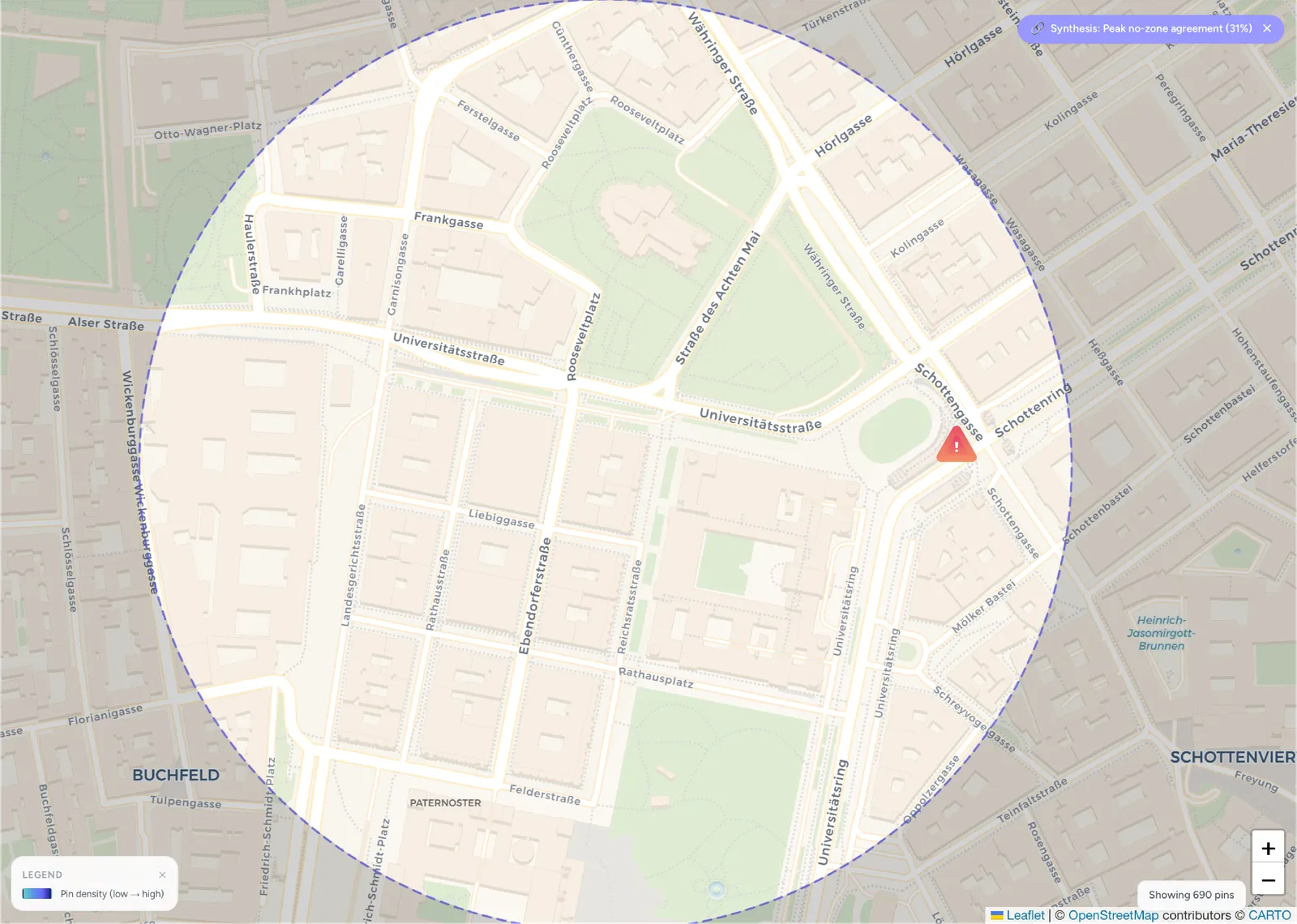
Figure 3. Student-mapped avoidance areas, with the highest consensus at Schottentor (31% of respondents who mapped no-zones).