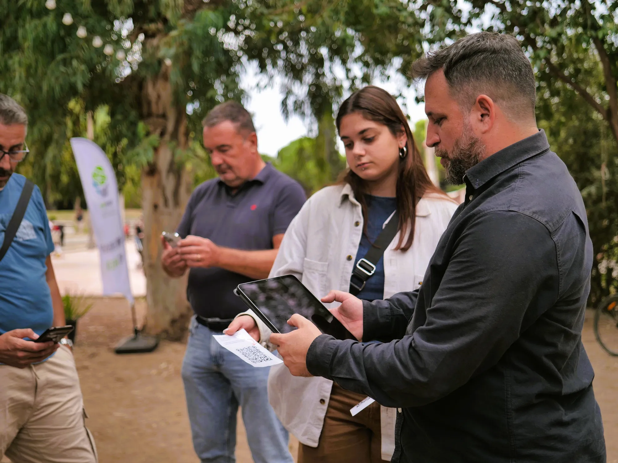
City Layers was developed from the ground up to activate participation, map local knowledge, and reveal how people experience places.
City Layers uses an integrated methodology for activating participation, sharing local knowledge, and understanding community experience in place. People contribute observations, needs, barriers, ideas, and experiences directly on a digital map. City Layers then structures this input into spatial insights that show where issues occur, what patterns emerge, and what should be prioritised. This creates a clear link between public participation and location-specific decisions.
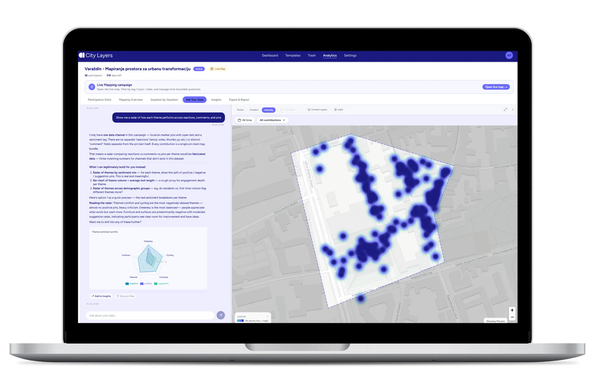
Every campaign starts by defining what to listen for, accessibility, safety, mobility, climate comfort, or whatever matters most, with participants sharing feedback directly where it happens, no app to download.
Observations are placed on a shared map and structured into context. You can explore that structure through heatmaps, clusters, graphs, and other analysis views, the building blocks of City Layers' spatial intelligence layer.
City Layers transforms data into spatial patterns and insights. Where available, that ranking is cross-checked against objective datasets, so priorities reflect both what people report and what's measurable on the ground.
Prioritised insights become structured evidence reports, ready for planning decisions or direct stakeholder communication. This is where community input stops being feedback and starts improving design, planning, and decision-making on the ground.
City Layers can be adapted to different planning, mobility, public space, climate, accessibility, and community engagement questions.
How people move: walking, cycling, public transport, and micromobility.
How people move through streets, corridors, stations, campuses, and public spaces.
Locations associated with recurring mobility issues, barriers, conflicts, or everyday friction.
Spatial obstacles affecting movement, orientation, usability, and access.
Locations associated with heat, shade, noise, comfort, exposure, and environmental stress.
Spatial patterns that support planning concepts, design decisions, and targeted interventions.
When communities are engaged, it's important to document, structure, and integrate their knowledge and needs into decisions. This is where we make a difference. City Layers turns location-specific community knowledge into themes, hot spots, recurring patterns, action priorities and reports.
Every insight remains traceable to the real mapped contributions behind it. Our methodology helps reveal patterns across community input and provides spatial insights ready to act upon. Decisions about what to prioritise, where to act, and how to respond stay with the experts and decision-makers using City Layers.
This is how community mapping becomes actionable place intelligence: spatial insight that helps teams understand how people experience places and move from feedback to action.
Book a personalised demo and discover how City Layers can transform participation for your community.